Marz of Shirak, Armenia
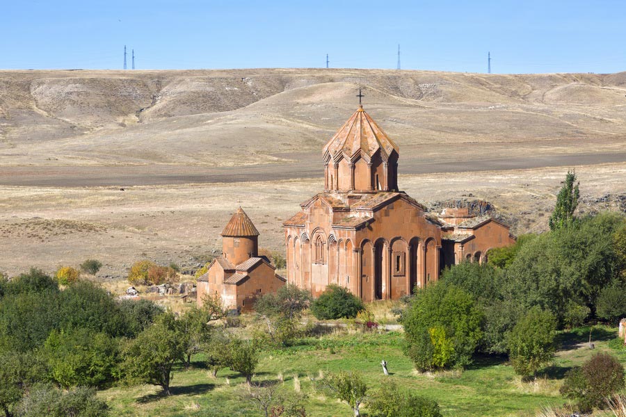
 Monastic complex Marmarashen, Shirak Region
Area: 2,681 sq km
Administrative centre: Gyumri
Distance from Yerevan to Gyumri: 115 km
The marz of Shirak (Shirak Region in Armenia) covers the northwest of Armenia and borders on two neighbors of Armenia, Georgia and Turkey. In comparison with other marzes Shirak's territory is slightly elevated and the heights of some points reach 1,800-2,200 m. Therefore, the climate there is rather cool or even cold. In winter the air temperature can go as low as -46C. But, despite this Shirak is very sunny. Among the natural landscapes mountain steppes and Alpine meadows prevail. Shirak's only large river is the Akhuryan shared with Turkey; it starts from Lake Arpi. There is Akhuryan man-made lake, the largest in Armenia. The mountains, rivers and lava massifs, green plains, pure healing high-mountain air – all of it gives special unique color to Shirak marz which, unfortunately, is little known to tourists. The region is famous for its ancient history and is rich not only natural beauty but also in ancient monuments.
The marz of Shirak got its name from Shirak gavar of Airarat kingdom.
You will have a chance to see Urartu cuneiform, the ruins of fortresses and castles, remains of bridges etc. On the territory of Turkey only several kilometers from the border there are the ruins of the city of Ani – the capital of Armenia during the time of Bagratuni. On the left bank of the Akhuryan is the monastic complex Marmarashen (988-1025).
Gyumri
Gyumri is the second large city in Armenia. It lies on the Shirak plateau which crosses several mountain gorges. The city itself is located in the close quarters from the Aragats northern mountain ranges. Gyumri concentrates a lot of mineral deposits and the whole city’s southern part is located above an artesian basin. If the city’s population in 1840 numbered merely 600 people, then today 146,000 people live there. In ancient time, there was Kumayri settlement in the place of the city.

